Explore it live
Israel Schools Map
See where Israel's best schools are, sector by sector — all 1,418 of them, mapped from reverse-engineered government data.
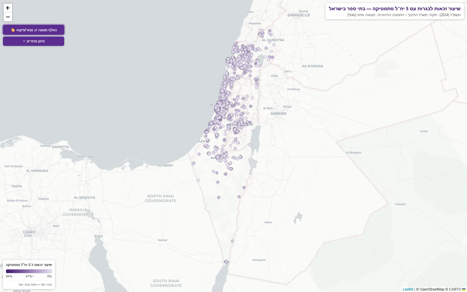
I wanted to know which Israeli schools actually get kids to 5-unit math — the highest matriculation track. The Education Ministry has the data, but locked inside a dashboard with no export.
So I reverse-engineered it. The ministry’s dashboard runs on a Qlik Sense engine speaking a JSON-RPC protocol over WebSockets; I worked out the protocol and built a reproducible 13-step pipeline that extracted the eligibility rate of every school in Israel — 1,418 of them, mapped nationwide. (Finding: the national rate is 16.2%, and the distribution is strongly bimodal — two very different school systems hiding in one country.)
Then I put it on the map you can explore right here on this page. Every dot is a school, shaded by its 5-unit-math eligibility rate, with filters by sector and supervision type. Pan around your own city and see which schools deliver.
Data discipline throughout: every record carries its source URL, no fake precision, and unresolved school names went to manual review instead of guesses.
The point this project makes: give me a day and a data source that officially “doesn’t export,” and I’ll give you a working product on top of it. That applies to business data exactly as well as government data.
Want someone who builds like this?
I'm open to opportunities. Tell me what you're building — I answer every email.